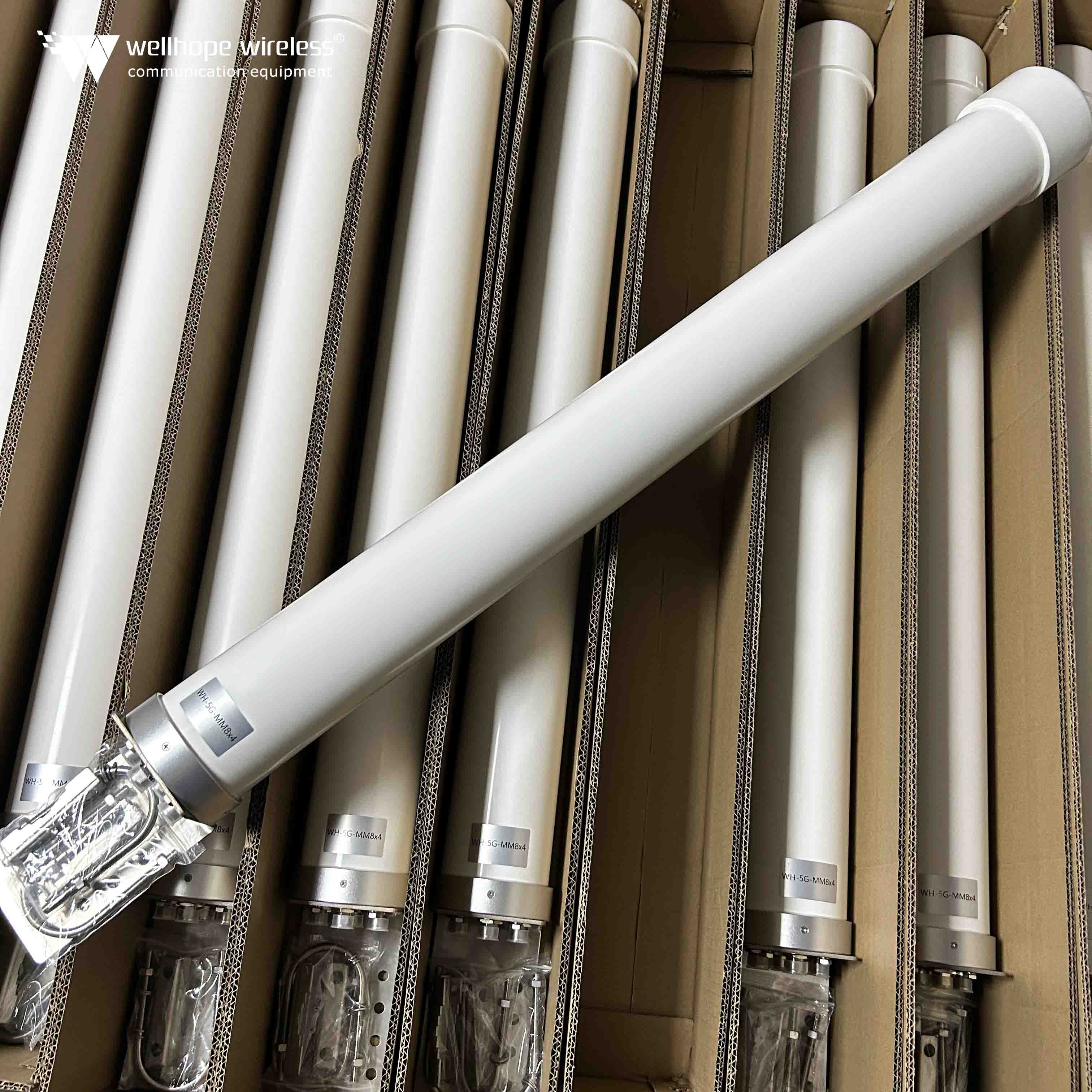

 News
News
Comparison of multiple GPS navigation systems, signal and spectrum distribution
2021-08-11 whwireless
GLONASS system
The Russian GLONASS system is similar to the US GPS system, and is also a global positioning system by satellite. The system has 24 satellites distributed in 3 orbits with 8 satellites in each orbit and an orbital altitude of 19,100 km.

Comparison of multiple GPS systems, signal and spectrum distribution
Figure 1 GLONASS satellite constellation
The GLONASS system also has two PRN codes, military and civilian, with positioning accuracy comparable to that of the GPS system. The C/A code rate is 511 kHz, the code length 511 and the code period 1 ms, while the P code rate is 5.11 MHz. The difference is that all GLONASS satellites use the same PRN code, which is differentiated by frequency division multiple access. The frequencies of the satellites are
Comparison of multiple GPS navigation systems, signal and spectrum distribution

k = 1, 2, 3 ......, 24 are the satellite numbers. The spectrum distribution of GPS and GLONASS signals in the L1 band is shown in Figure 2.
Comparison of multiple GPS navigation systems, signal and spectrum distribution
Figure 2 Spectrum distribution of GPS and GLONASS signals in the L1 band

The GLONASS signal has a ground strength of -161 to -155.2 dBW. The initial satellite life of the GLONASS system was too short and the lack of funding due to the collapse of the Soviet Union meant that by July 2005 there were only 10 available satellites in the system. The GLONASS system has now also been modernised and upgraded with the launch of new long-life satellites and the addition of L2 C/A signals.

Comparison of multiple GPS navigation systems, signal and spectrum distribution
GALILEO
The GALILEO system, launched by the European Union, consists of 30 satellites, evenly distributed over three orbits, with an altitude of 23,000 km, an orbital period of 14h 4min and an orbital inclination of 56°. and multi-service.
The GALILEO system consists of 10 signals located in 4 frequency bands.
(1) E5 band: frequency range 1164~1215 MHz, containing two bands E5a and E5b, each containing two signals, modulation mode AltBOC(15, 10), code rate 10.23 MHz, minimum signal reception power -155dBW. this band mainly provides Open Service (OS) and Safety-of-Life (SOL) services.
(2) E6 band: The frequency range 1215-1300 MHz contains 3 signals, modulated by BPSK, with a code rate of 5.115 MHz and a minimum received power of -155 dBW. Service (CS).
(3) E2-L1-E1: The frequency range of 1559-1591 MHz contains three signals, with the centre frequency of 1575.42 MHz being used for GPS compatibility. The E2 band covers 1559 to 1563 MHz and provides mainly public licensed services.

Comparison of multiple GPS navigation systems, signal and spectrum distribution
Figure 3 GALILEO signal spectrum distribution The spectrum distribution of GALILEO system signals is shown in Figure 3.

Comparison of multiple GPS systems, signal and spectrum distribution
Beidou System
The BeiDou system is a satellite navigation system developed independently by China in order to get rid of the US technological monopoly and prevent being restricted in important national security areas such as national defence and military. It adopts the CGS2000 coordinate system and has better positioning accuracy within Asia.
The BeiDou system is planned to consist of 35 satellites with three orbits: geostationary orbit (GEO), medium orbit (MEO) and geo-tilt orbit (IGSO).
In July 2009, China announced the new Beidou satellite navigation system signal scheme. The signals of the new system are concentrated on three operating frequency bands B1, B2 and B3, with two pseudo-codes, ordinary code and fine code, orthogonally modulated on each navigation signal, and the spectrum distribution is shown in Figure 4. The navigation messages broadcast wide area differential information on the GEO satellite in addition to parameters such as ephemeris.

Comparison of multiple GPS navigation systems, signal and spectrum distribution
Figure 4 Beidou signal spectrum distribution

Comparison of multiple GPS systems, signal and spectrum distribution
System comparison
Comparing the major satellite navigation systems, some similarities can be found between the systems.
1) Similar constellations, all consisting of 24 to 30 satellites to achieve global coverage.
2) Similar operating frequencies, all operating in the L-band with frequencies in the range of 1164~1610 MHz.
3) PRN codes are used for ranging and positioning, and there are two kinds of codes, coarse and fine. The higher the code rate, the higher the positioning accuracy and the wider the signal bandwidth.
4) The signal transmitting power is similar, and the minimum signal receiving power is between -161 and -150 dBW.
(5) The polarisation mode is the same, and the transmitted signals are all polarised in a right-handed circular way.